Singlebeam bathymetry
Dual-frequency singlebeam echosounder surveys for depth control in channels, basins, marinas, rivers and reservoirs.
See the service →
Hydrographic surveys, dredging control and integrated land–sea studies for port authorities, dredging contractors and public institutions. Traceable data, delivered in each project's reference frame.
Marina FlamingoUAV LiDAR and multibeam bathymetryFly-through of the delivered point cloud
From the channel bed to the breakwater and the beach, every survey is tied to a single geodetic reference frame, so campaigns can be compared and volumes computed with full traceability.
Dual-frequency singlebeam echosounder surveys for depth control in channels, basins, marinas, rivers and reservoirs.
See the service →Full-coverage seabed surveys with multibeam echosounder, motion sensor, GNSS positioning and sound velocity profiles.
See the service →Independent control of the full dredging cycle: pre-dredge survey, progress monitoring during execution and post-dredge survey.
See the service →Surveys of berths, turning basins, access channels, breakwaters and disposal areas for the operation, maintenance and expansion of port terminals.
See the service →High-resolution acoustic imaging of the seabed for object and obstruction detection, seabed classification and inspection of breakwaters and jetties.
See the service →Characterisation of sub-seabed layers with a sub-bottom profiler, in support of dredging design, marine structure foundations and coastal engineering studies.
See the service →Tide gauge installation, continuous water-level recording and harmonic analysis to derive tidal constituents, project datums and predictions for planning surveys, works and dredging.
See the service →Measurement of current speed and direction along sections and vertical profiles, and wave recording, as the basis for the design of marine structures, submarine outfalls and environmental studies.
See the service →Design, monumentation and observation of GNSS geodetic networks that ensure traceability and comparability between campaigns, and continuous base stations for real-time dredging control.
See the service →UAV-borne LiDAR, mobile LiDAR and photogrammetry for orthomosaics and digital terrain models.
See the service →GNSS, LiDAR, photogrammetry and bathymetry processed in a single geodetic frame and vertical datum, producing a continuous model from dry land to the submerged seabed.
See the service →Comparison of surfaces between successive campaigns to quantify siltation and erosion, estimate rates of change and plan the maintenance of channels, basins and reservoirs.
See the service →Numerical models of wave propagation, tide- and wind-driven hydrodynamics, sediment transport and contaminant dispersion, built on the project bathymetry and calibrated with field measurements.
See the service →Cleaning, quality control and processing of hydrographic and LiDAR data, delivering surfaces, profiles, contours, models, charts, point clouds, volumes and technical reports.
See the service →
We serve both dredging contractors and project owners, providing measurement that is independent of the works. We verify the geodetic network before starting, compute volumes against the design surfaces and, during execution, process data daily to guide operations.

Verification of the geodetic network and a continuous base station; multibeam surveys before and after dredging of the channel and disposal area, and daily multibeam and singlebeam monitoring during execution. The dredged volume was closed out against an independent measurement.
Our data support design, operation and maintenance decisions in ports, dredging, marinas and submarine works.
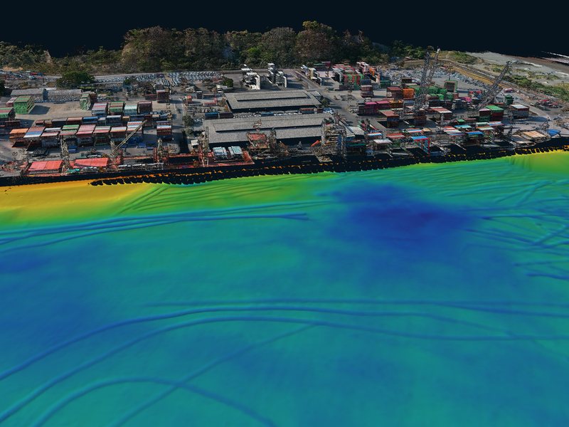
Available depth in channels, basins and berths sets a port's operating draft.
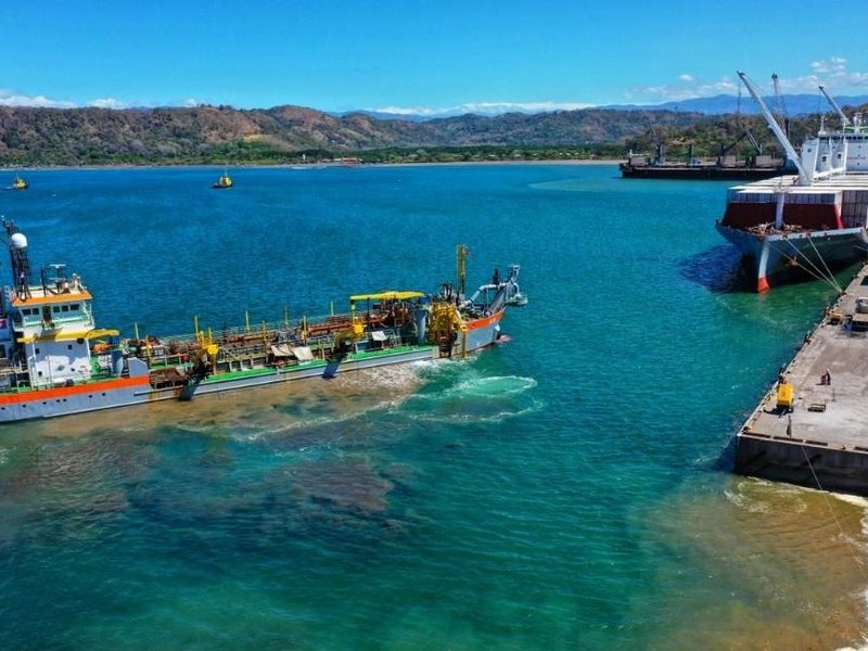
Independent dredging control makes it possible to steer operations, verify design depth and certify the executed volume against the contracted scope.
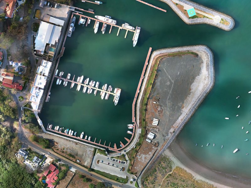
The design and operation of a marina depend on depths in its basin and channels, and on the behaviour of the surrounding coastline.
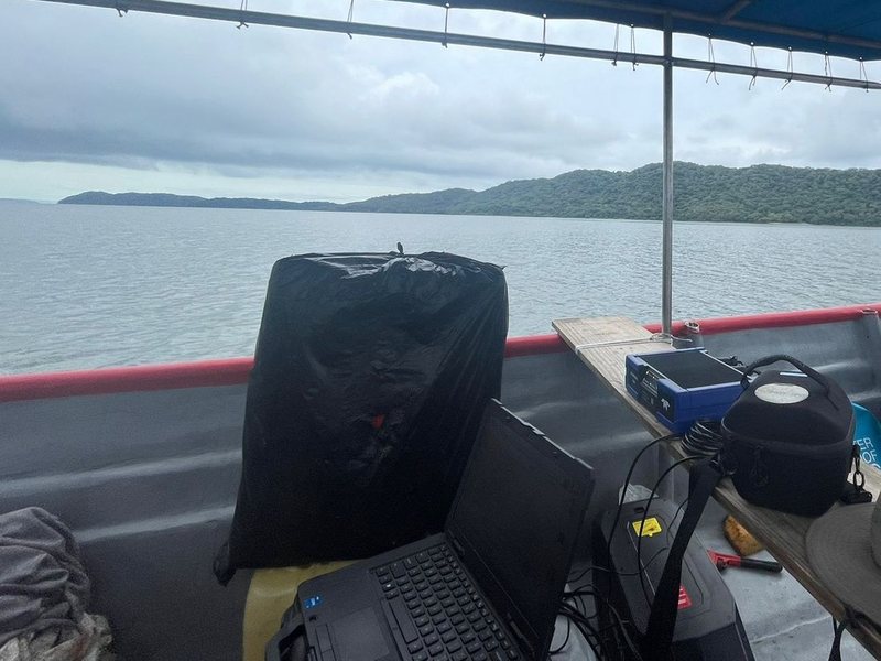
Routing a pipeline to an island, an outfall or a submarine cable requires knowledge of the seabed along the whole corridor: its depth, gradient, obstructions and the material it will rest on.










Tell us the type of works, their location and the objective of the study; our team will propose methodology, scope and schedule. You can also write to info@aquasurvcr.com.